This article has been indexed from MacRumors: Mac News and Rumors – Front Page
Apple in iOS 15 overhauled the Maps app to add a much more detailed design in select areas, an interactive globe, improved driving directions, better transit info, and more, and all of those same changes are available in macOS Monterey.
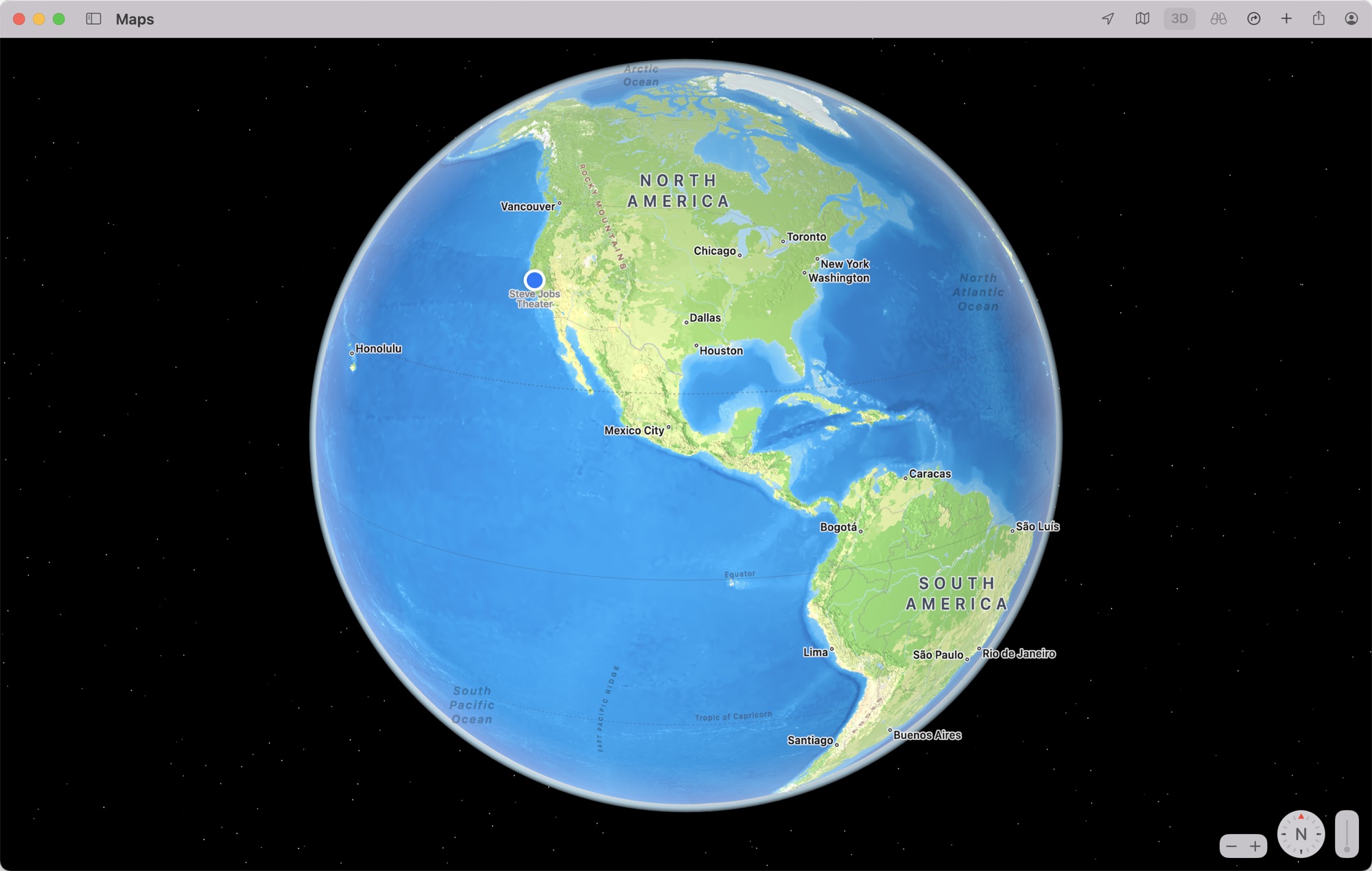
If you zoom all the way out in the Maps app you can get to an interactive globe view, which is new to Maps. You can rotate the globe and drill down into different areas around the world, and Apple has greatly enhanced the details you see for mountain ranges, deserts, forests, and oceans.
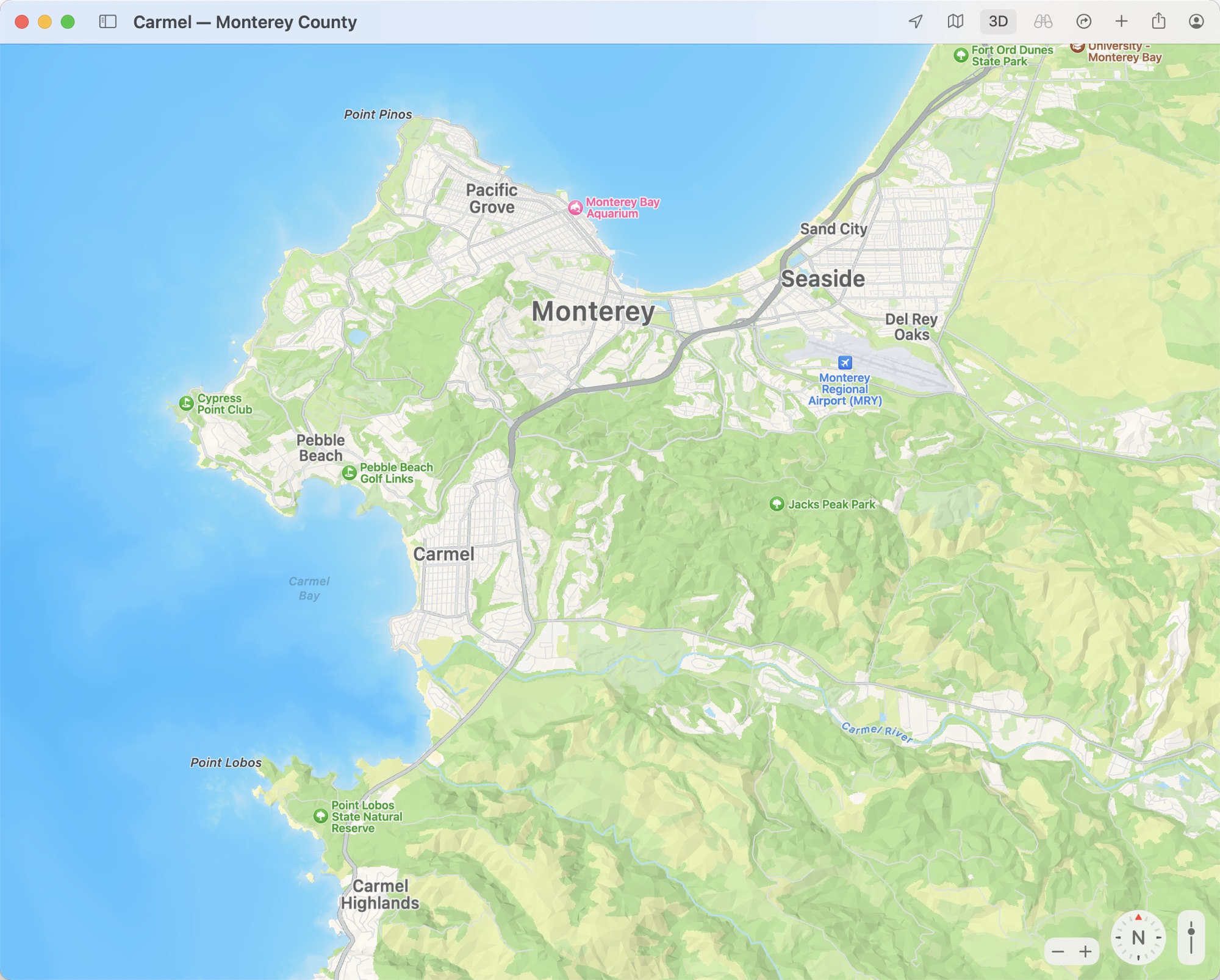
In cities that include San Francisco, Los Angeles, New York, and London, Apple has added tons more detail for elevation, roads, trees, and buildings, with these features rendered in 3D. In San Francisco, for example, you can see notable landmarks like the Golden Gate Bridge and Coit Tower rendered in 3D.
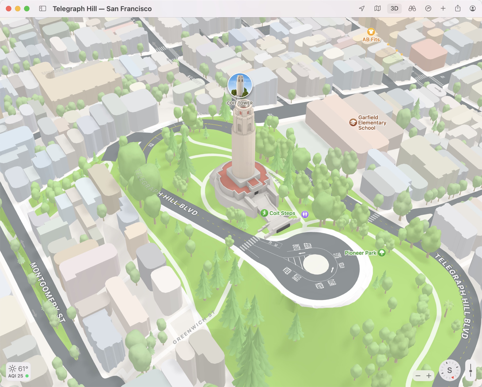
Apple’s own Infinite Loop and Apple Park campuses are also rendered in this new detailed 3D look so you can get a closer bird’s eye view of the iconic ring-shaped building. It’s likely Apple will add this more detailed view to additional cities in the coming months as it has done with other Maps features like Look Around.
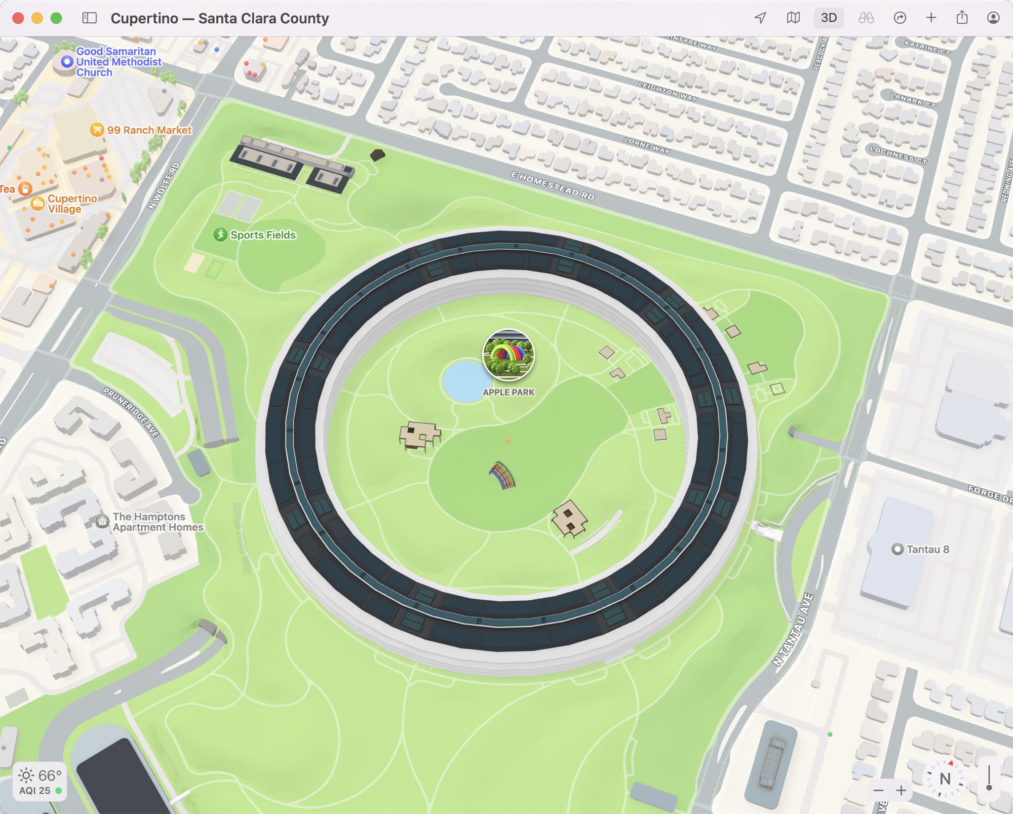
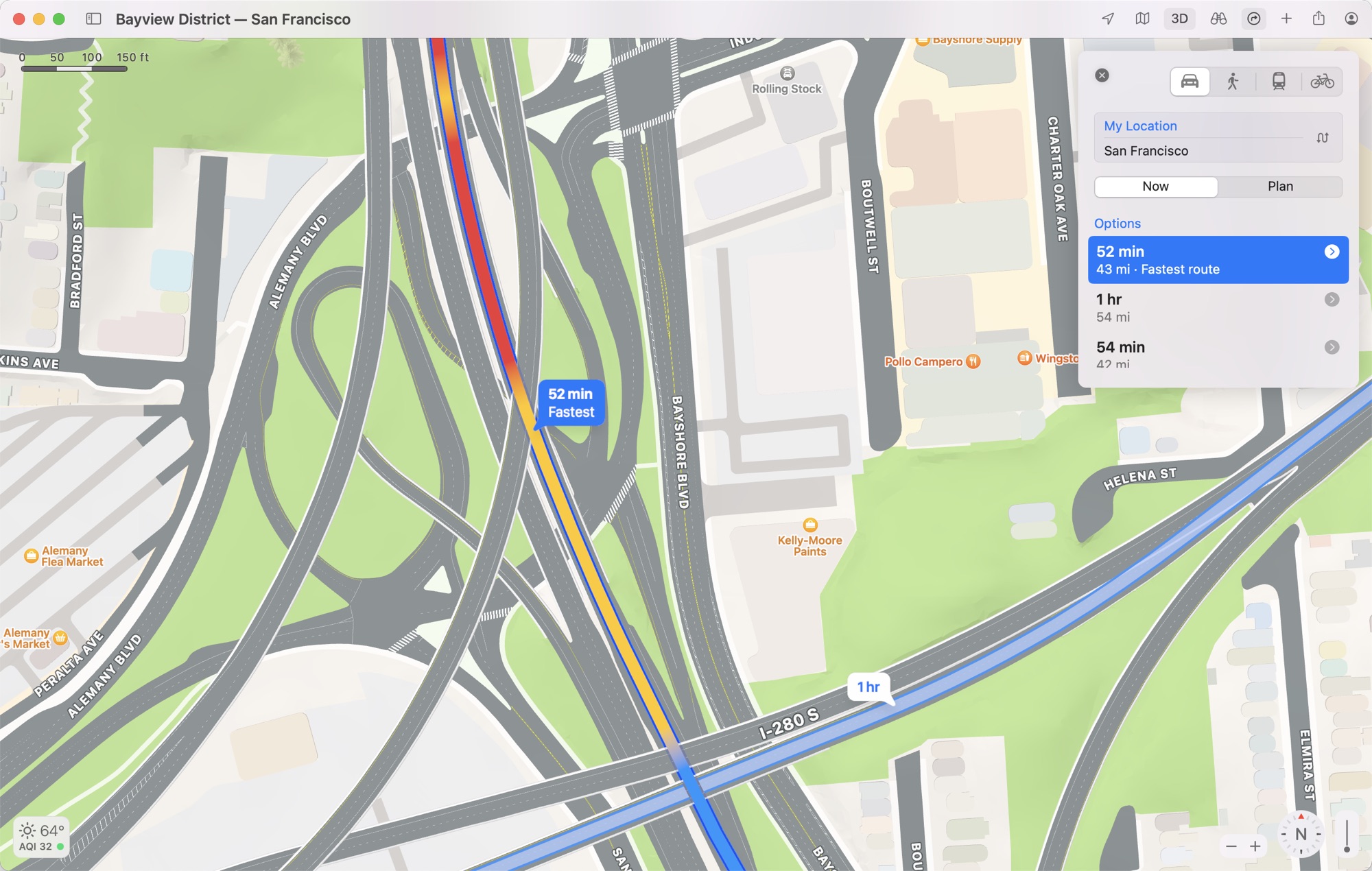
An updated driving map provides additional detail on traffic and hazards that might affect your drive, and roads are much more detailed with clearly delineated turn lanes, bike lanes, bus lanes, medians, crosswalks, and more to give you a better overview of your route.
 Maps in macOS Monterey: Interactive Globe, Detailed Terrain, 3D Landmarks, Updated Driving Features and More